
Page published 7 May 2014
To discover why I was here see the Introductory Page.
 The Aston Flight
From our room at the back of the hotel we had been able to see the canal just beyond a tall brick wall, seemingly left over from whatever building had occupied the site before the hotel had been built. Before travelling to Birmingham a search on Google Maps had suggested that I'd be able to get to the towpath from a bridge a few yards down the road from the hotel, and this proved to be the case.
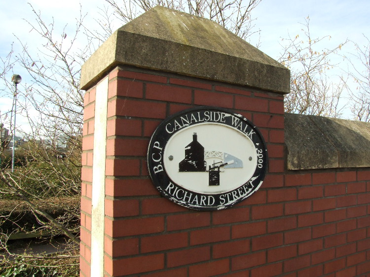
At the Waterlinks Bridge I found a plaque, the first of many similar ones I was to see on my walk.
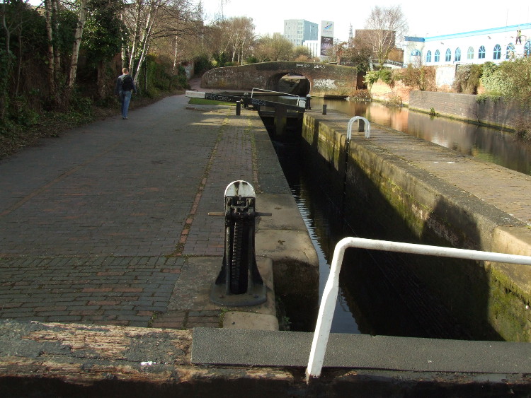
The expected bridge was quickly found. On one side was plaque indicating that I was about to join a canalside walk. There was another plaque on the other side of the road saying that Waterlinks Bridge had been officially opened by Christine Crawley, MEP, on 20 February 1995. The wording continued "This project was funded by Birmingham Heartlands Development Corporation and partly financed with aid from the European Regional Development Fund". You can't help but wonder at the wording "officially opened" and the subtle difference between being "funded" and being "partly financed" and what was going through the mind of the bureaucrat who had the job of deciding on the text to appear on that plaque. Peering over the bridge wall you can just see a third lock under the next bridge up the flight.
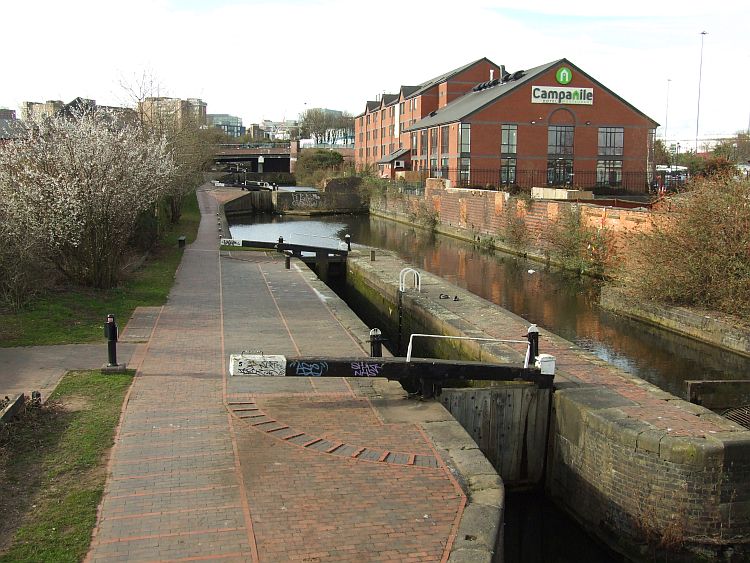
Looking south west from the Waterlinks Bridge three locks in the middle of the Aston Flight are just visible.
My plan was to head for Gas Street Basin, so after a brief look over the parapet to the north east, where a pipe bridge obscures the view of the locks further down the flight, I returned to the path I'd seen a few yards before the bridge that gained access to the towpath by the lock nearest the bridge.
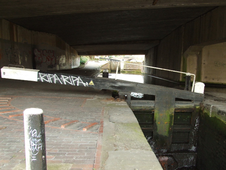
By the time I reached the third lock I had become impressed with how little leakage there was around the lock gates.
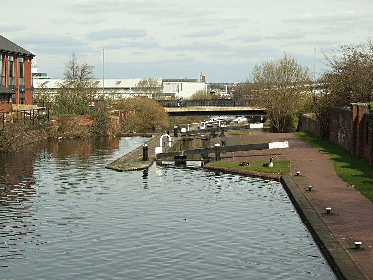
Looking down the flight from the third lock I passed, with the hotel on the right. (This view was taken later, on my return from Gas Street Basin.)
The third lock I reached was right beside the hotel where we had stayed and half hidden under the modern road bridge over which we had approached the hotel the previous afternoon. Having now seen three locks I was impressed at how well maintained they all seemed. I didn't examine the plaques that you can normally find on any lock gate that tells you when it was made. I guessed that they may have been renewed around 2000, the date shown on the plaque I had seen earlier and, presumably, around the time that all the work to improve the canal landscape had been done.
Clearing the bridge by the hotel, a lone pedestrian passes by, the first person I had seen on my walk.
Aston Junction
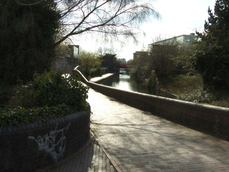
I am not sure what I was expecting at the top of the Aston Flight. Certainly, it was not an apparently unending length of brick paved towpath leading to Typhoo Basin, and although not always the best kept grounds, nor was I expecting so much greenery in evidence. My old Nicholson's Guide gave me an expectation of nothing but old warehouses and factories.
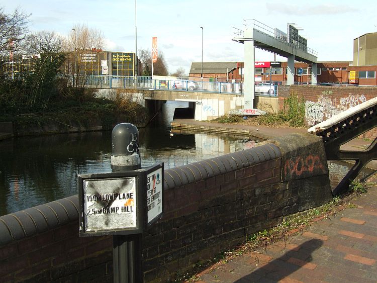
Reaching the top of the flight I saw the Digbeth Branch which leads to "Typhoo Basin".
On most canals a "branch" is a dead end, often cut to link to some important customer's private basin to the canal's main line and this was the case for the Digbeth Branch, built to reach Typhoo Basin (named after a certain tea company which it served). However, it didn't last long as a dead-end. The Warwick and Birmingham Junction Canal, later to become part of the Grand Union, made its own branch from Bordesley to the Typhoo Basin turning the Digbeth Branch into a vital link to London and other places en route.
While Typhoo Basin is somewhere I had always wanted to see - simply because of its name, not because I had grand expectations of it - I was concerned that if I had made the detour down the Digbeth Branch, I might not have time to get to my primary target, the equally evocatively named, Gas Street Basin.
There's no indication in my 2003 edition of Nicholson that there is a winding hole above the Aston Flight.
With that in mind I turned right and headed for the slightly wonky looking modern concrete bridge that led onwards towards the Farmers Bridge flight and the top of the Birmingham and Fazeley Canal.
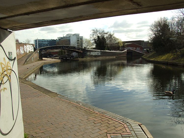
Those coming down the Farmer's Bridge Flight have this view of Aston Junction and the top lock of the Aston Flight.
Looking back to Aston Junction, as I entered the tunnel like-bridge I had seen moments before, I realised why the towpath on the Digbeth Branch made such a switchback start. It was the first of a number of disused entrances to old basins off the main line.
Continue to follow the route of my walk up the Farmer's Bridge Flight.